Landscape of the 1830's
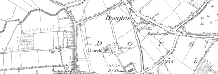
Ordnance Survey of Ireland’s maps of the Douglas area reveal a tiny village of church, chapel, court house and constabulary barracks and some modest street housing.
Industrial activity was across a varied spectrum and utilised the water-power of local streams to manufacture flour, linen, sail canvas, rope and other products of flax and hemp – the textiles boom of later years is yet to manifest itself. The surrounding area is mostly agricultural land dotted by large planted ‘big house’ demesnes. Cork City, much smaller than is the case to-day, is some 3 miles distant and its approaches from Douglas marked by market gardens. The principal ‘seats’ of their wealthy owners are often surrounded by formal and kitchen gardens, and more widely by informal parkland landscaping with shelter belts. Lyrically described in a contemporary account “as a chapelry and village (Douglas) presents that singularly beautiful contour and richly embellished dress for which the whole tract along the lower River Lee and especially between Cork and Passage (a harbour-side town east of Douglas) is celebrated and it possesses a profuse powdering of villas and gemming and embroidering of gardens, shrubberies and villa demesnes”.
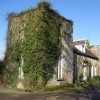
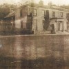
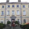
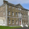
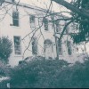
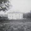
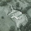
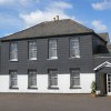
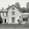
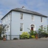
Some twenty or so ‘big houses’ and their attendant demesnes were to be found within a two mile radius of Douglas. Largest among them, and still standing, are Maryborough to the east, and Bessborough to the north east of Douglas. The former is now part of a hotel complex, the latter in the care of a religious institution. Of the grouping west of Douglas, and in the vicinity of Vernon Mount, only two houses survive out of an earlier half dozen, one of which – Frankfield - is much reduced following a deliberate burning during the Irish War of Independence. A later connection between Frankfield and Vernon Mount and Ballybrack to the south of Douglas Village was their occupancy by Lane family members.
** The big Houses within two miles of Douglas.
|
Ronayne's Court |
Douglas Hse |
Westgrove |
Vernon Mount |
Bloomfield Hse |
|
Monfieldstown Hse |
Old Grange Hse |
Montpelier |
Frankfield Hse |
Shamrock Lawn Hse |
|
Donnybrook Hse |
Douglas Hall |
Maryborough |
Mount Conway |
Bessborough |
|
Grange Hse |
Thornbury |
Ballybrack |
Grange Erin |
|
|
Mount Grange |
Windsor |
Tramore Hse |
Norwood |
|
Click Here to view locations of the above houses.
As pointed out in Con Foley’s History of Douglas, the owners of these houses were seen as the privileged elite of their community as well as holding positions of authority in civic society. Usually successful businessmen or landed gentry, they also contained within their ranks descendants of emigrant Huguenot families fleeing religious persecution in France.
Gallery
Click on the thumbnails below to enlarge the image:
